

This diagram can be found in the Kimberley LNG Precinct Strategic Assessment document page 81. It quite clearly shows that the area proposed for industrialisation is not Walmadan (James Prices Point) but is
A = Kundandu, B = Murrdudun and C = Murrjal all located at Quondong Point. This following video shows the area due west from Murrjal at both the high and low tides.
Very wide intertidal sand flats are a feature of the open ocean shores of the Dampier Peninsula.During low spring tides these flats can be greater than a kilometre wide. Sediment composition on the flats ranges from fine, silty sand near shore, to coarse, shelly rubble in areas of strong tidal flow.Few aquatic plants occur on these flats, however sparse occurrences of seagrasses do occur in
shallow pools (CALM 1994). These intertidal flats are rich in invertebrates, with a high density and diversity of bivalve molluscs and other burrowing infauna. The outer edge of these flats support soft corals and sponges (CALM 1994). Hands Off country, Standing Up for the Planet


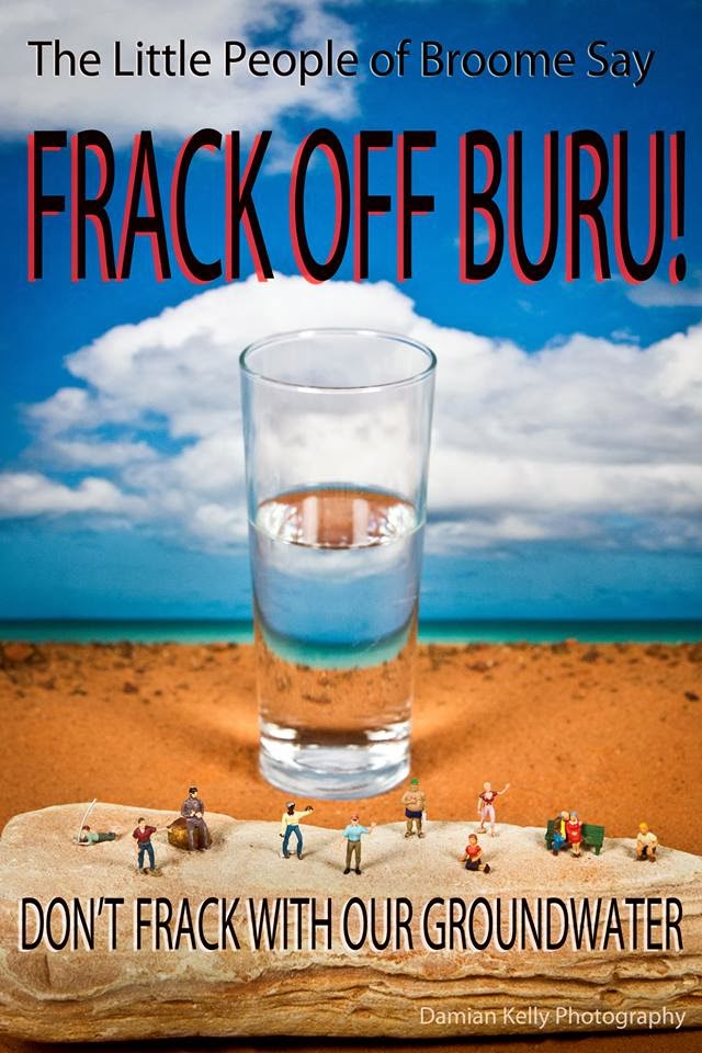


 Photo Damian Kelly
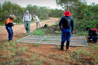


No comments:
Post a Comment