

Goshawk Energy holds 100% of the SPA Licence over SPA-07.
Goshawk Energy is conducted an airborne surveys over the licence area in the first half of 2013.
SPA-07 covers 1,558 km2 or 385,000 acres of the Fitzroy Trough and provides exposure to multiple conventional and unconventional plays, including:
- Conventional Gas – Devonian Carbonate reservoirs sourced from the Ordovician Goldwyer shale
- Unconventional Gas and Condensate – Laurel shale formations, similar to the Three Forks play of the Bakken Formation in the Williston Basin, USA
The licence is poorly explored with only 1 well deep well drilled by WAPET in 1956 (Fraser River 1 – 3,091 metres) and 120km of 2D seismic acquired between the 1950’s and 1980’s.
The licence is well located in close proximity to both infrastructure and existing discoveries:
- 35 km north of Yulleroo discovery which contains an estimated 332 Bcf of recoverable gas and 13.4 million barrels of associated liquids in the Laurel Formation
- 50km north of Ungani discovery which has potential reserves range of 8 to 20 million barrels in high quality dolomite reservoir in the Laurel Formation
- 100km east of Woodside’s proposed James Price Point LNG hub
- 15 km north of the Great Northern Highway, 90 km west of Broome and 40 km east of Derby
- 100km west of existing oil production at the Blina and Sundown oil field complex
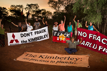
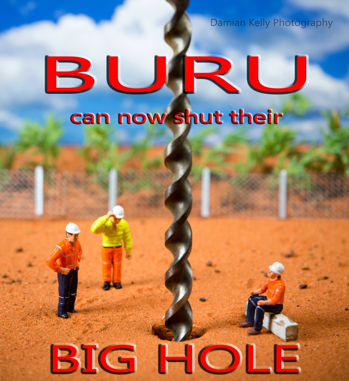
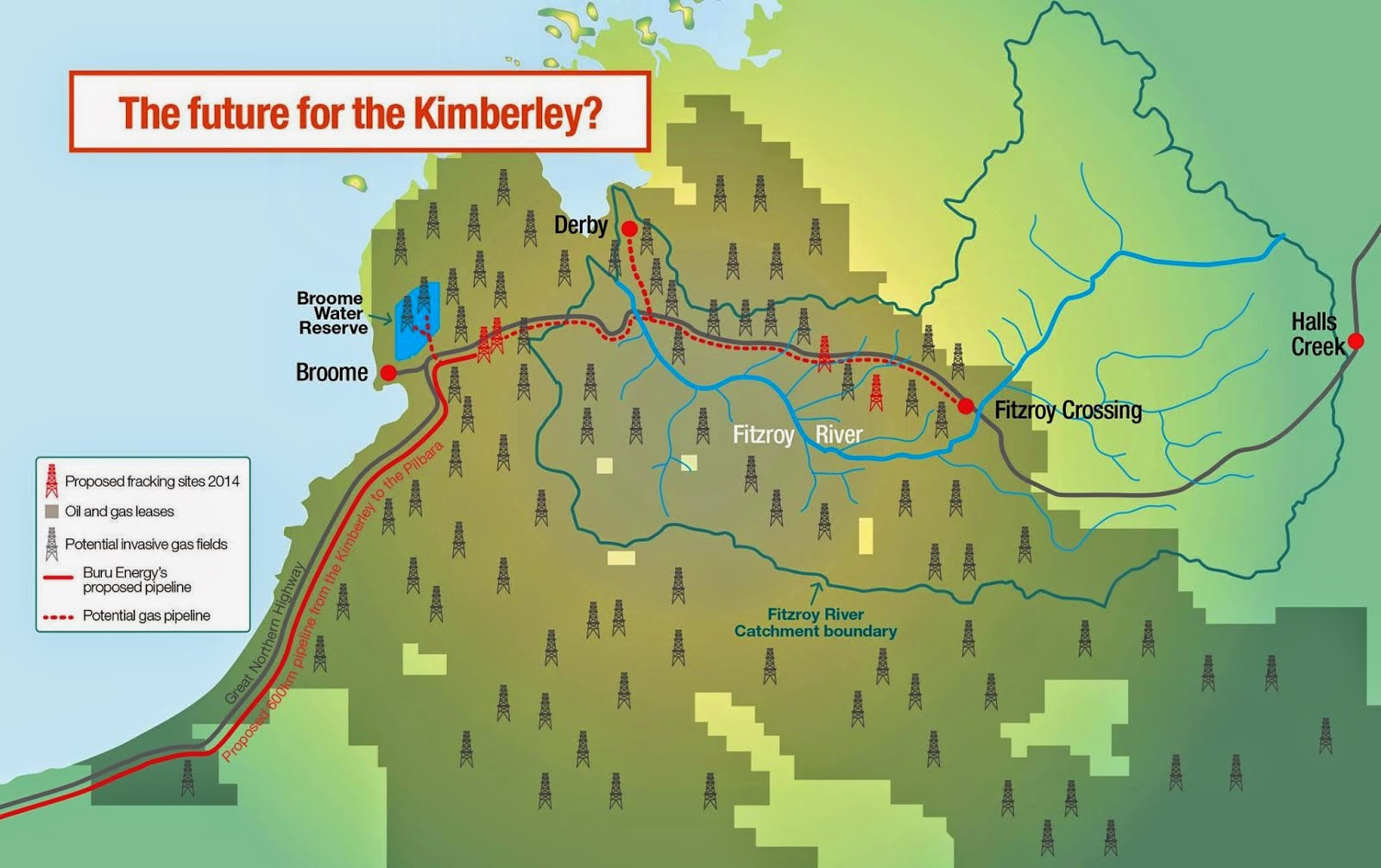


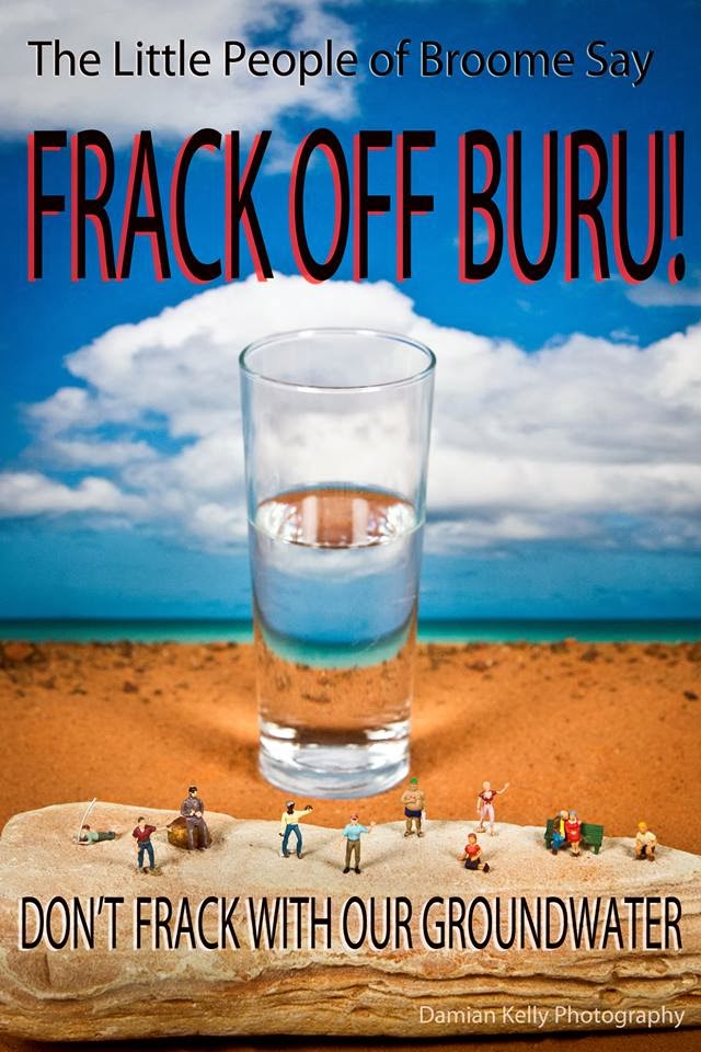


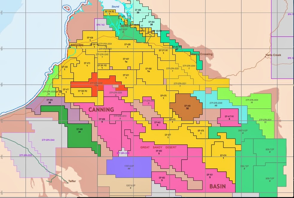


 Photo Damian Kelly


No comments:
Post a Comment